Space, Place, and
Landscapes of Imagination
By Justin T. Carreno
The Wyoming State Geological Survey (WSGS) recently published a Wyoming Cultural Geology Guide, which had me reflecting on my years in Wyoming. In 2002 I arrived in Laramie, WY to pursue my Master’s degree in Geography, focusing on GIS mapping and Satellite Remote Sensing. My Master’s research became a joint project between the University of Wyoming Department of Geography and the WSGS. Some of the most tedious, yet memorable, times were those late nights in my WSGS office, located on campus, working on my research. I’d meticulously create digital geologic maps experimenting with automated algorithms and manual digitizing.
My desk looked out a window. I'd steal glimpses of the clear, moonlit sky, looking across the University of Wyoming campus quad, officially known as Prexy's Pasture. Not quite alone at this hour, I would look out to make sure my two friends were there, and sure enough I'd look out the window and there they were staring at me -- perched stoically in one of the giant oak trees were a male-female pair of Great Horned Owls.
At the WSGS I had the honor to work with one of the leading geologists in the country, Dr. J. David Love, who was 88 years old when I met him, and this is what started my Wyoming geology mapping venture. Dr. Love, a Yale-educated Geologist, dedicated most his life to mapping Wyoming geology. One of his desires was to have his work, the mapped geology of the Wyoming, updated from analog, paper maps to digital format, to make it easily accessible to anyone online through the internet. My work was to research and discover the most effective method of doing this. It would be an involved, time-consuming, multi-year effort.
With coordination between the University and the WSGS, and the backing of my academic advisor, Dr. John Allen, my supervisor and mentor, Joe Huss, WSGS leadership, and Dr. Love, we signed a formal agreement to begin the mapping effort. Through a paid research assistantship, using the effort for my thesis research, I began mapping a 1:250,000-scale bedrock geology map of northeastern quadrant of Wyoming.
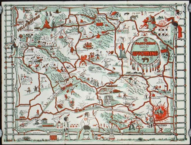
Little did I know that geology and mapping would also lead me to explore the culture of a state that some say has cultural deprivation. Between road trips with my friends, girlfriend, and as part of my research, I'd travel throughout the state. When those I was with said, "there's nothing here... this place is a ghost town...let's go," I said, "no, this is fascinating!"
I couldn't help but be enamored by what seemingly was lack of anything, never mind culture. But, in my mind’s eye, there was so much, and it was mostly shaped around Wyoming's geological identity. Much of it was invisible. For example, driving through Jeffrey City, where there was vast nothingness in every direction, there still were a few people who lived there. Why? What was this place? At one point it was a boomtown for uranium mining. I would picture the town in my head during it's prime, then I get snapped back to reality when tumbleweed would blow across my path.
In other places you can still see where cultural history was made through geology. At the Guernsey Ruts National Historic Site, the Oregon Trail was forced away from the river and crossed a ridge of soft sandstone. The track is worn to a depth of five feet, creating some of the most spectacular ruts remaining along the entire length of the Oregon-California Trail. The geography of the area dictated that practically every wagon that went west crossed the ridge in exactly the same place, with impressive results.
The area I was mapping included Powder River Basin, which was rich with coalmines and the highest producing uranium mine in the United States. The uranium mine was discovered in 1951 by none other than Dr. Love, who was 38 at the time. Prospectors fled to the area, staking their claims, helping to develop the region. Although Love was among the first to discover large deposits of uranium in Wyoming, he declined lucrative offers from private companies to help them exploit it, preferring the independence of his work as a teacher at the University of Wyoming and longtime director of the Wyoming State Geological Survey.
Ideas of Wyoming conjure thoughts of dramatic natural beauty, insular, small-town communities, and it's tendency to fly under the radar on the national, never mind, international stage.
But this didn't stop people from "back east" staking claim, looking for a big payday from it's natural resources – Torrington, WY was named after Torrington, CT by one such man who founded the area eventually making it a once boomtown through quarrying, mining, and oil and gas extraction.
Geology even led the state to international recognition, but maybe not always by the right people. Uranium in Wyoming is well-publicized, and as such, attracts international attention for it's value in nuclear use. I never really thought much of uranium's use until we received a suspicious phone call at the WSGS from the Iran Ministry of Energy, inquiring about details of mining and distribution. Given the national security implication, we promptly reported the call to the FBI.
(This “phone call incident” stuck with me, and I grew more and more interested in national security. After graduating in 2004, I received offers from private companies. But I opted for a lower pay to pursue something I found fascinating – the leading hazards geologist in the state, and the WSGS Chief of Hazards, Jim Case, offered me a full-time position as a Hazards Analyst and as liaison with the Wyoming Office of Homeland Security and FEMA, where I conducted vulnerability assessments. Combining background and interests of GIS and mapping, natural hazards, emergency management, and national security, made this is an amazing job).
It had been a year that I knew Dr. Love, and we celebrated his 89th birthday during our lunch hour. He excused himself during the celebration, and said he had to go to his office, and he'd be right back. We were all curious. He returned with a bottle of scotch, and proceeded to pour shots. He insisted I have one, and he made a number of toasts, but memorably, he raised his glass to the Wyoming Bedrock Geology Mapping project. Although, my motivation for the project started as my job, then to my Master's thesis, it was now personal for Wyoming's foremost geologist.
Dr. Love soon thereafter suffered a debilitating stroke, and died. Although he never saw the finished Wyoming geology mapping product, he died knowing it would be completed. Something I held dear was a signed copy of a book he wrote. Bad fortune had me in the line of Hurricane Katrina a few years later, and, sadly, the book became a casualty.
But my memory of Dr. Love, his work, my subsequent project, and what it taught me, not only about mapping and geology, but about myself, through exploration, way beyond any Master's degree to teach, still holds fast. Historical Geographer, the foremost researcher of Lewis and Clark, and my academic advisor, Dr. John Allen, said it best, "maps are the capstone of landscapes of our imagination."